The slight ribs that border the furrows of the Loire, allow our vines to have a south, south-east exposure conducive to the maturity of the majority red grapes on the appellation. The flint clay soils provide sufficient water reserves in case of drought and good drainage during excessive winter rains.
Geographical presentation
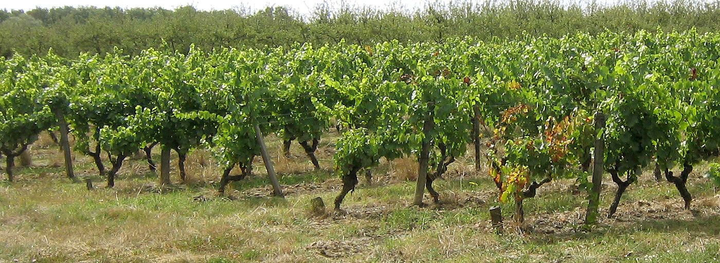
The natural environment The geographical area of the AOC TOURAINE in the sector of Mesland, includes 6 communes located on the right bank of the Loire. This vineyard is perfectly delimited by limestone slopes overlooking the Loire Valley from 30 to 40 m high. Above these vineyard slopes lies a vast undulating plateau corresponding to the Gâtine Tourangelle. The slopes are cut by secondary valleys: the Cisse, the Cissereau and the Petite Cisse. The final course of these rivers is roughly North-South before their confluence with the Loire. The Cisse Valley, a second-order network, has strongly influenced the morphology of east and west facing slopes, with good-quality viticultural soils. The town of Blois, east of our study area, is the eastern limit of the Appellation TOURAINE, on the right bank of the Loire. The western border, in limit of AOC TOURAINE-AMBOISE is administrative (limit of department).
The geographical entity is thus rather heterogeneous from the territorial point of view. At the first coasts on fairly steep limestone slopes, it is necessary to combine undulating plateaux, sandy, loamy or calcareous as well as 2nd and 3rd coasts on the slopes of tributaries adjacent to the Loire as well as small particular sectors. So many diverse soils with very different characteristics.